
Trace a Williamson County Street by Address
A useful street-by-street search begins with the physical address, not a name. The county’s GIS Address Search accepts a full address or street fragment and asks the user to choose the official result from a dropdown. Save that selected address, the responsible jurisdiction, and any parcel or Quick Reference ID before moving on. WCAD then supplies the property side of the record trail, and the County Clerk’s index supplies the recorded-document side. These sources identify land, transactions, and taxable ownership. They do not create a complete list of people at an address.
- Enter the address or street fragment in the County Address Search, choose the dropdown result, and note the county or city agency tied to it.
- Search the selected address in WCAD Property Search. Keep the Quick Reference ID, situs address, mailing address, legal description, and current owner field separate.
- For a whole road, use the Tax Advanced Search with Street Number Range and Street Name. Add city or ZIP only when it helps distinguish similar roads.
- Use the parcel map to compare selected properties, then take the owner name and legal description to the County Clerk records search for deeds, plats, liens, and releases.
- Date every result. For an older address, compare a reverse directory, newspaper, census schedule, or map instead of projecting a current property record backward.
County Clerk staff cannot perform an open-ended search under Attorney General Opinion WW-607. Bring a document number, book and page, address, legal description, or name when a counter visit or copy request is needed. Note: A document trail is stronger when the parcel identifier and legal description agree across the record sets.
Williamson County GIS Sets the Street Record
The GIS result is the cleanest way to normalize a street before searching other systems. Williamson County maintains official 9-1-1 GIS component data and a Master Street Address Guide, or MSAG, that defines street names and address ranges for emergency service zones. Its published guidelines also explain why an address may be administered by a city even when the parcel is in the county. Use the selected address to determine whether a city permit or code file belongs with a municipal department rather than the county.
The County Address Search is shown below. Its simple street-text entry and dropdown selection make it a practical first check when a city name, postal label, or old spelling produces no match elsewhere.
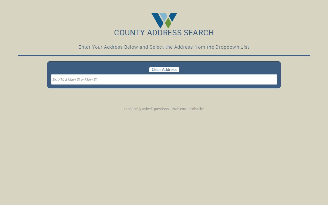
Once the official result is selected, carry its spelling and location into WCAD and the deed index. The GIS search identifies the address framework, while WCAD and the clerk records provide the property evidence.
Browse Williamson County Streets in WCAD
Williamson Central Appraisal District, commonly called WCAD, determines taxable owner and value. The County Tax Assessor-Collector handles tax accounts, payments, and tax certificates instead. That division matters in a street directory search. WCAD’s property search and data services are best for the parcel, owner, value, exemptions, sales history, and Quick Reference ID. The tax site’s advanced screen is especially useful for a full road because it accepts an address range and a street name rather than only one house number.
The following fields were documented on the Williamson Tax Advanced Search. All are optional until the search is submitted, so start with the fewest fields that identify the right street.
| Search field | Type | Use on a street search |
|---|---|---|
| Property ID / CAD ID | Text | Use a known local or WCAD identifier. |
| Street Number Range | Two text fields | Set lower and upper numbers to browse a stretch of road. |
| Street Name | Text | Enter the address street name. |
| City / Zip Code | Text or select | Narrow a duplicate street name or a large result set. |
| Neighborhood | Text | Use when a neighborhood is known from the parcel record. |
| Property Type / Status / Tax Year | Select or radio | Filter real property, manufactured home, natural resource, or personal property records. |
| Owner Name / Business Name / Owner ID | Text | Check a named owner after the address results are understood. |
| Legal Description | Text | Bridge the property record to deeds and plats. |
| Abstract or Subdivision, Block, Tract or Lot | Text | Keep older or rural land tied to the same property. |
| Acres | Two text fields | Set a minimum and maximum range when relevant. |
WCAD Property Search also offers a simpler Name, Address, or Property Identifier entry. Its guidance describes detail pages with current and prior values, improvements, taxing entities, exemptions, sales history, and the Quick Reference ID.
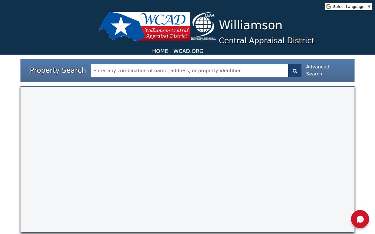
The property search gives the first parcel-level result. Follow it with the advanced street fields when the goal is to compare several properties along the same road.
Read Williamson County Address Lines Carefully
A street directory needs two address lines, not one. A situs address is where the parcel or building is physically located. A mailing address is where appraisal and tax notices go. When they match, that supports an owner-occupancy connection but does not prove who is present at the property. When they differ, the mailing line may point to a post-office box, a business, another property, or a protected address. Date the result, since records can change.
- Parcel
- A defined piece of land used in the appraisal and map systems.
- Situs address
- The physical street address of the land or building.
- Plat
- A recorded map that lays out a subdivision, lots, blocks, streets, or easements.
- Legal description
- The lot, block, tract, survey, or abstract wording that identifies land in a deed.
- Criss-cross directory
- A historical directory organized by address, which may show an occupant in that printed year.
WCAD advertises owner, exemption, historical, subdivision, parcel, and GIS categories through its open-data portal. Those data help test an address trail, but WCAD cautions that its maps and data are provided as-is and should be checked against original records.
The WCAD Data Portal is pictured below. Its public data categories are useful when a simple property result needs to be compared with historical or parcel information.
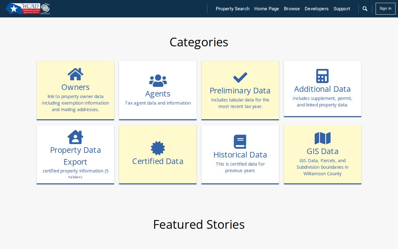
Use an export or historical category as a comparison aid, then confirm the key fact in the controlling appraisal or recorded document source.
Williamson County Street Records by Source
Each address-keyed source answers a narrower question. WCAD can identify a taxable owner and parcel data. The tax account can show tax-year information. The GIS and parcel map show geometry and districts. Deeds explain ownership changes, while a historical reverse directory may preserve an address-linked entry from a particular year. Keep the source and access channel with every note so a later reader can distinguish an online index from a clerk copy or library source.
| Record set | Keeper | Street evidence | Access channel |
|---|---|---|---|
| WCAD property card | WCAD | Taxable owner, situs and mailing address, value, improvements, exemptions, sales history | Free search, map, open data, or public-information request |
| Tax account | Tax Assessor-Collector | Account, tax year, taxing entities, balances, receipts | Online tax search; tax certificate at the office |
| GIS / parcel map | County GIS and WCAD | Parcel geometry, address, districts, identifier, nearby parcels | Free interactive map |
| Deed or official record | County Clerk | Parties, date, instrument, legal description, liens, releases | Tyler portal, counter, or copy request |
| Plat or subdivision record | County Clerk, WCAD, GIS | Lot, block, easements, subdivision, street layout | Official record or map |
| Permit or code file | City or county department | Project, case, address, dates, applicant, status | Portal when available or PIA request |
| Voter confirmation | County registrar / SOS | Limited registration, status, and precinct information | Individual lookup or lawful list request |
| Reverse directory | Library or WCGS | Past printed address, occupant, telephone, or occupation | In-library or database access |
The county GIS and WCAD Parcel Map are the bridge between a street and the individual property records. The map can support selecting multiple properties and exporting data, but it is not itself a roster of people.
Follow Williamson County Deeds Along a Block
After WCAD provides an owner and legal description, take both to the County Clerk Official Public Records index. Search the current grantee and the legal description, then open the latest deed. Record the grantor, grantee, recording date, instrument number, book and page when shown, consideration when shown, lot or block, and related releases or plats. Next, search the prior seller as grantee or repeat the legal-description search. A rural deed may use a survey, abstract, tract, or metes-and-bounds description instead of the familiar street address.
The WCAD property-search guidance shown here explains the Quick Reference ID and the categories available after a property search.
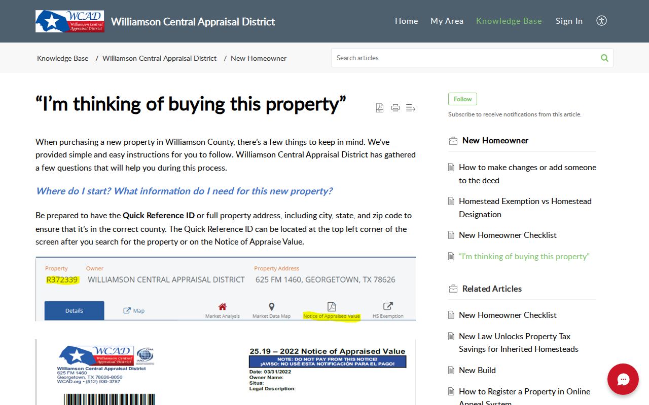
That identifier helps keep a property search organized before the deed trail moves into the County Clerk’s recorded-document system. For printed address entries and older household context, use the Williamson County city directory collections rather than treating deeds as a household list.
Williamson County Clerk Address Fallbacks
The address is a lead, not the field that controls every recorded document. The County Clerk index is organized around parties and legal descriptions, so a no-result address search should send the researcher back to the WCAD owner, subdivision, lot, block, survey, or abstract. The County Clerk’s official page directs users to its Tyler-based Official Public Records portal, but the online coverage start year was not located in official sources. Do not assume that a missing digital result means a deed, plat, release, or lien was never recorded.
The fallback path is the recording and research-library counter at 1848 Texas Trail in Georgetown, open Monday through Friday from 8 a.m. to 4:30 p.m. Bring the most specific document information available because staff cannot conduct open-ended searches. The 2024 fee schedule lists copies at $1 per page and certified copies at $1 per page plus $5 certification. Confirm charges before ordering.
When a county-held record is not accessible through the portal or counter, the County Public Records Center accepts written requests by its form, email, mail, fax, or in-person delivery. A written request triggers the Texas Public Information Act process; the verbal line provides only the public portion. State the record type, street address, date range, and document number. Do not ask the office to investigate a broad address history.
Date Williamson County Street Activity
Permits and code files add an address-dated layer that deeds cannot provide. A city or county file can contain a permit number, project type, applicant or contractor, issue date, inspection date, status, violation type, responsible party, and closure date. The right office depends on the GIS jurisdiction result. The county Public Records Center specifically advises using GIS and Addressing Search first to identify the agency that holds an incident or public-records file.
Round Rock Fire Marshal directs users to an account-based portal for applying, uploading, paying, and scheduling. The research did not locate a broad public address index there. That limitation is useful: a missing online permit search is not proof that no address record exists. Ask the responsible city or county department for its public portal, then make a written Public Information Act request for the defined permit or code period when the online route cannot provide the file.
Use a permit record only for what it documents. A construction, inspection, or code event can date a parcel, but it does not establish everyone connected to the street. Pair it with the parcel identifier and recorded document before drawing a property-history conclusion.
Williamson County Roads Cross City Lines
Williamson County’s addressing rules create a useful local quirk. An extension of an existing road should keep the same name even when it crosses a city line. The cited road-name example also excludes directionals as part of the road name. That continuity can help match a road across jurisdictions, yet the city or county assigns the address according to where the development sits. Search the county spelling first, then compare the selected GIS result with the plat and legal description when a road appears under more than one place name.
The rules do not document a countywide historic renumbering year or a complete street-renaming table. For an old address, search both likely variants, compare the lot, block, subdivision, survey, or abstract, and use historic maps or newspapers as a date check. Note: A postal city label and a municipal boundary do not decide which office keeps a permit or code file.
The guidelines also distinguish a road name from the official street address assigned to a unique property along that road. That distinction matters on long county roads, in rural tracts, and near municipal edges. Preserve the selected GIS address, then save the parcel’s legal description with it. The two fields offer a better continuity check than a shorthand road name when a property card, plat, and recorded document use different forms of the same location.
Williamson County Street Search Limits
No single public system shows everyone at a location. People who do not own the parcel, do not register to vote, have a protected address, or are not listed in a historical source may not appear. Driver-license residence information and utility customer information are not ordinary public directory records. A voter non-match is not proof that someone never lived there.
Lawful use. Williamson County address records support personal, family-history, civic, and property research. Do not use an address trail to stalk, harass, threaten, or harm another person.